

A Winter Storm Watch is now in effect from 2 p.m. Wednesday, Dec. 16 through 1 p.m. Thursday, Dec. 17. Travel could be very difficult to impossible during much of that time frame, the National Weather Service said in a Hazardous Weather Outlook statement issued early Tuesday morning, Dec. 15.
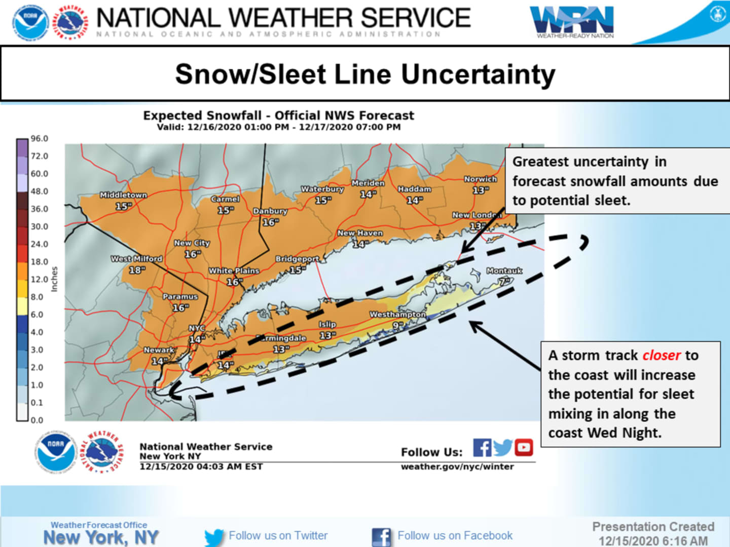
Generally, total snow accumulations of 12 to 17 inches are possible. There is some uncertainly for Long Island, as any mixing of precipitation could lessen totals, essential on Eastern Long Island. (See the first two images above.)
Less snowfall is expected farther north and inland, with higher amounts farther south. But any change in the track of the storm could result in changes.
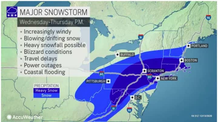
In areas, seeing the heaviest snow, near-blizzard conditions are possible at times, with strong winds, blowing and drifting snow, and scattered power outages. (See the third image above.)
For the latest snowfall forecast by the National Weather Service, both south and north of I-84, see the first two images above.
The blockbuster storm is due to arrive after a mostly sunny day Tuesday, Dec. 15 with a high temperature in the upper 30s and wind-chill factor between 20 and 30 degrees.
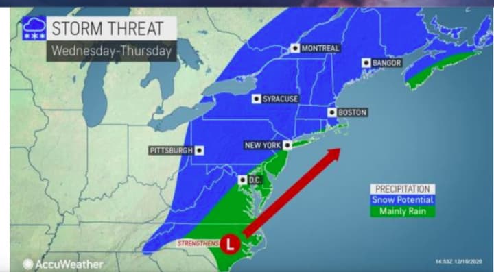
Snowfall should start right around nightfall on Wednesday and continue into late Thursday morning, based on the current models.
There still remains uncertainty surrounding the track and strength of the storm, and snowfall projections will likely be adjusted as the storm nears.
This continues to be a developing story. Check back to Daily Voice for updates.
Click here to follow Daily Voice New Canaan and receive free news updates.