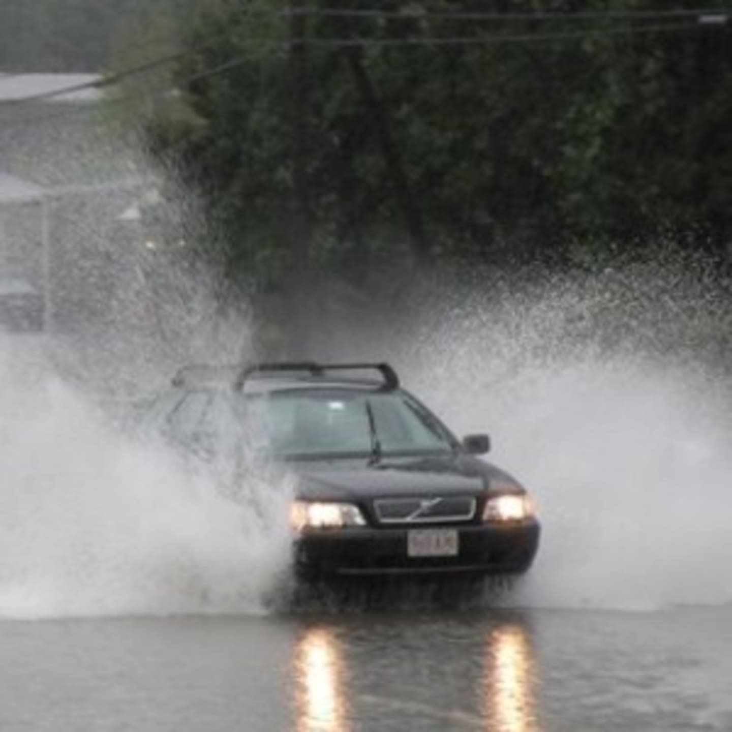
The wind gusts could reach up to 58 mph, and isolated flash flooding is possible in poor drainage areas, the weather service said. Small hail is also possible with the storm.
At 6:17 p.m., National Weather Service radar indicated a line of thunderstorms extended from Brewster to 3 miles south of Bethel to 5 miles northwest of Darien.
The storm was moving northeast at 20 mph, the weather service said.
Showers and thunderstorms should be near Wilton and Norwalk at 6:35 p.m., Westport and Easton at 6:50 p.m. and Fairfield at 7 p.m.
Heavy rain and lightning strikes are expected. Motorists should exercise caution on wet roads.
More thunderstorms are possible between 3 and 5 a.m., with heavy rain and overnight lows into the 50s.
Wednesday should be partly sunny with a high near 77 degrees, but heavy rain is expected again Wednesday night and into Thursday as a low pressure system moves near the area.
More than 1 to 2 inches of rain is possible across Fairfield County. Isolated spots may see even higher amounts of rainfall, with rates of 1 inch per hour making urban flooding a concern.
More wind gusts and lightning are expected Thursday.
Click here to follow Daily Voice New Canaan and receive free news updates.