This comes after a Presidents Day in which the wind-chill factor only reached highs of around 5 degrees above zero during the day despite sunny skies.
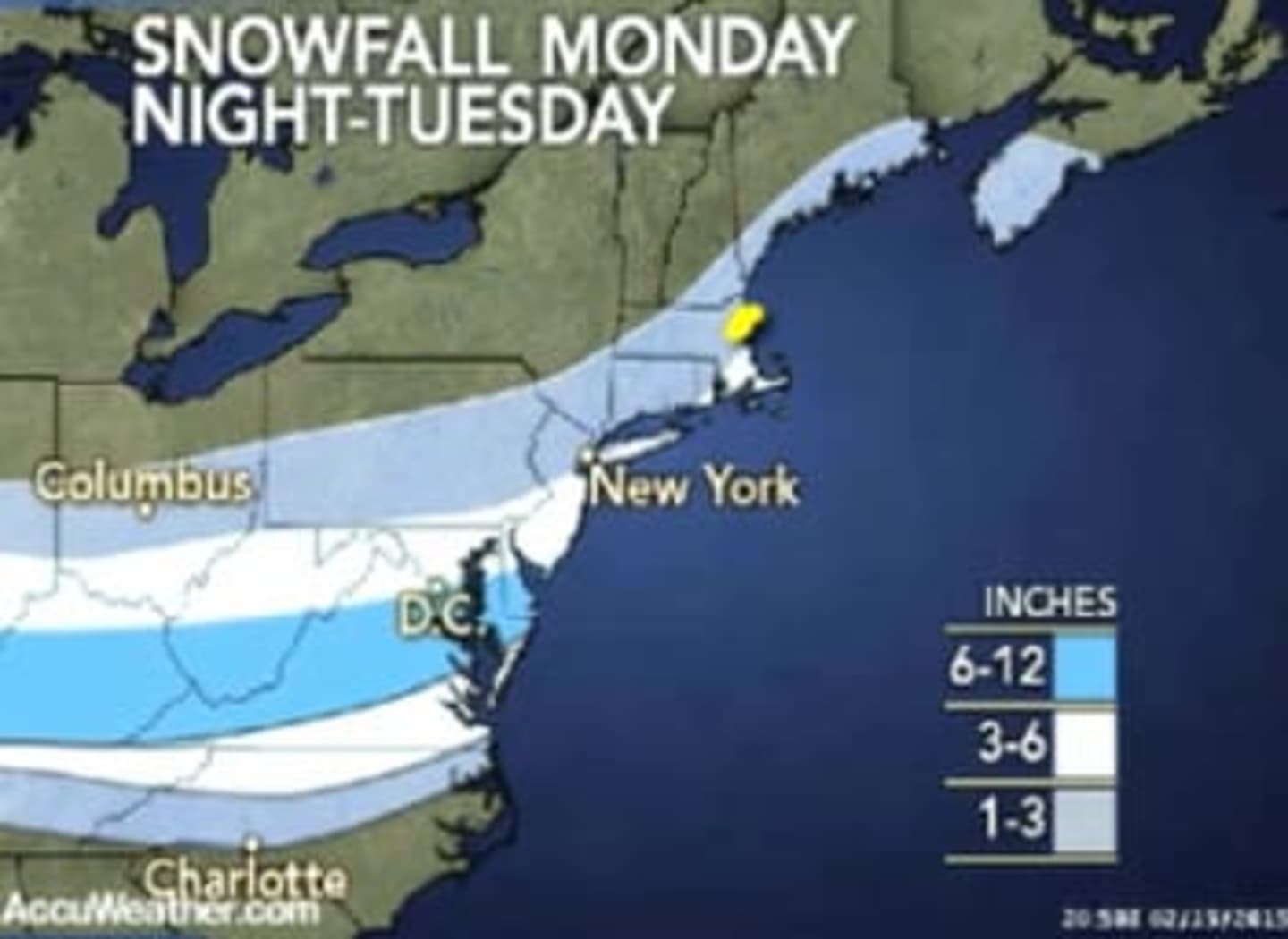
There is a chance of snow after 4 a.m. Tuesday, with snow becoming likely by dawn. Total accumulation of 1 to 3 inches is possible before the system winds down around 10 a.m. More snow is likely farther south, closer to the center of the snow and ice storm making its way through the Mid-Atlantic states.
Tuesday's high temperature will be between 21 and 23 degrees.
The outlook for Wednesday calls for a chance of afternoon snow showers and a high between 24 and 26 degrees.
Click here to follow Daily Voice New Canaan and receive free news updates.