“We’ve just been spoiled,” Gary Lessor, a meteorologist at Western Connecticut State University in Danbury, told the Daily Voice. “It’s been an unusually warm winter season because of El Niño.”
But that will change Saturday, when the region will experience “extremely uncomfortable” temperatures, according to Lessor.
That may be putting it sugar-coating it.
The forecast for Fairfield County for Saturday calls for a high of only about 10 degrees, with the temperature dropping throughout the day, according to the National Weather Service. There's a chance of snow showers during the day, with winds of 10 to 20 mph gusting to 30 mph. Wind chills will be from about zero to -10.
Temperatures are expected to drop even further by night-time, with a deep freeze into Sunday morning. “That would be the worst of the cold,” Lessor said.
The worst means temperatures dropping to as low as -4 along the Connecticut shoreline and -9 inland and farther north in Fairfield County. Add in the winds, and it will feel as cold as -20 to -30 on late Saturday afternoon, into the evening and overnight into Sunday morning.
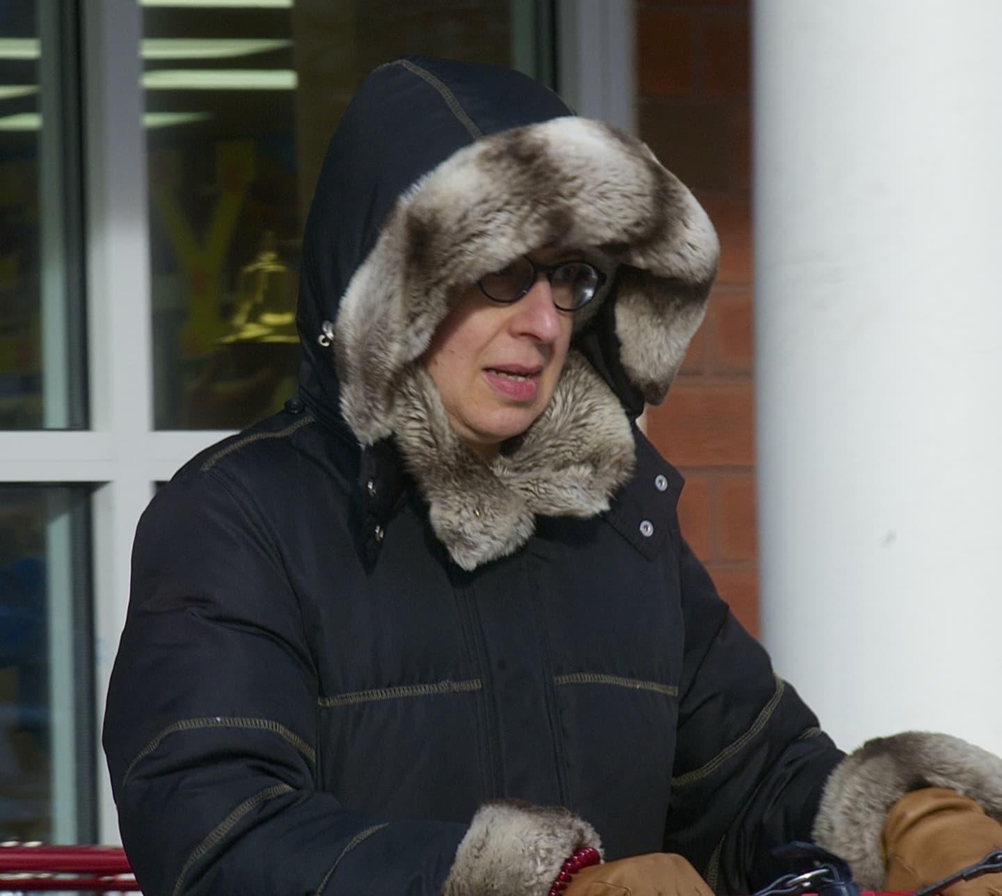
Lessor cautioned residents to get out their hats and gloves and to dress in layers. Exposed skin can freeze in as little as 10 minutes. “People have to take it very seriously,” he warned.
The entire metro area is under a variety of weather alerts from the National Weather Service.
A Wind Chill Warning is in effect from 4 p.m. Saturday until noon Sunday for Northern Fairfield County. Temperatures as low as -9 combined with winds of 10 to mph with gusts of up to 40 mph will bring wind chill values of -25 to -30.
For Southern Fairfield County and coastal Connecticut, a Wind Chill Advisory is in place for the same time period.
The wind chill will be -18 to -24, due to temperatures as lows -4 degrees with 20 to 30 mph winds gusting to 45 mph.
The frigid temperatures will be "extremely dangerous" to those venturing outside, the Weather Service said. Frostbite and hypothermia are very real threats, as well.
With the deep freeze, car batteries run the risk of dying. Carry a blanket, warm clothes and gloves if you venture out in a car.
To prevent pipes from freezing, residents should run water at a trickle and keep cabinet doors open.
Never use a stove or oven to heat your home. Keep your pets warm and indoors.
Along Long Island Sound, there is a Freezing Spray Advisory from 4 a.m. to 6 p.m. Saturday, worsening to a Heavy Freezing Spray Advisory for 6 p.m. Saturday until noon Sunday. In these conditions, heavy freezing spray can rapidly accumulate on vessels, making them unsafe to navigate.
And a Gale Warning remains in place from 6 a.m. Saturday until 6 a.m. Sunday. Northwest winds of 20 to 30 knots with gusts of up to 35 knots will produce seas of 3 to 5 feet.
Operating a vessel in gale conditions requires experience and properly equipped vessels. Mariners are advised to enter safe harbor.
Is there any good news? Lessor said the region will soon see warmer air, which could continue the trend of warmer than normal temperatures this winter. He noted the region has been averaging temperatures 5 degrees above normal for the whole winter season so far.
Click here to follow Daily Voice New Canaan and receive free news updates.