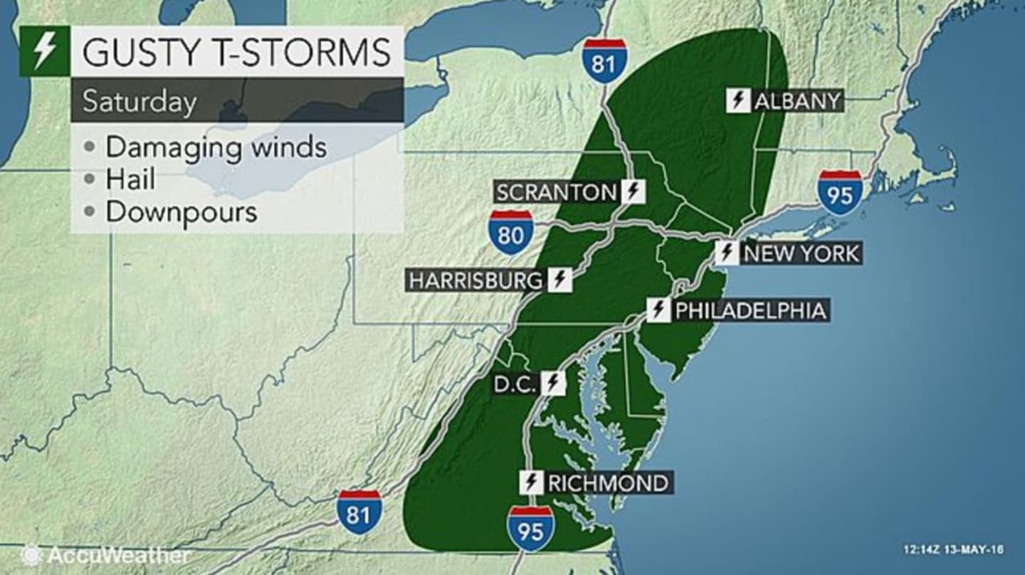
Some of the thunderstorms may produce heavy downpours and gusty winds that could be strong enough to pull down tree limbs and power lines.
The storms will "bring the potential for hail, strong wind gusts and torrential downpours on Saturday afternoon and the early evening," according to AccuWeather meteorologist Eric Leister.
Showers are likely after 4 p.m. Saturday, with thunderstorms possible before 10 p.m., then a chance of showers and thunderstorms between 10 p.m. and midnight, according to the National Weather Service.
After the front passes through Saturday night, cooler conditions will return for Sunday with a high in the low 60s under cloudy skies. A passing upper level disturbance could trigger isolated to scattered showers Sunday afternoon.
The sun returns Monday with a high near 60.
Click here to follow Daily Voice New Canaan and receive free news updates.